The Role of DMP in Early Jeffco Tourism
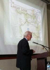
The Jefferson County Historical Commission and its Friends group jointly sponsor an annual discussion on a theme of historic interest. This year, Historical Tourism in Jefferson County was the theme, and Foundation founder Bart Berger was one of the featured speakers. Bart’s wide-ranging presentation covered The Role of Denver’s Mountain Parks in Early Jeffco Tourism, from the system’s inception in 1912 and the Lariat Trail and promotion of the parks to the modern efforts to ensure the parks continue to serve the public, now as a part of a broader integrated system of parks and open spaces.
Here are a few samples from Bart’s presentation. Click to enlarge images.
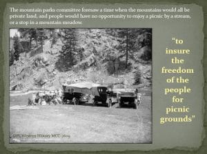
| Fearing that land in the foothills could become privately owned, reducing opportunities for public access, Denver citizens passed a mill levy to fund acquisition and construction in neighboring counties. State and federal legislation was also required to make it possible for the city to buy land outside its limits. | |
| The city joined forces with the State and with Jefferson County to build and improve roads that enabled people to reach the parks. Canyon roads, especially in Bear Creek and Turkey Creek canyons, were improved. In cooperation with the US Forest Service, roads were extended from Squaw Pass to the top of Mount Blue Sky.
Today, the Lariat Trail and Bear Creek Canyon are designated Scenic Mountain Drives on the National Register of Historic Places. |
|
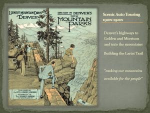
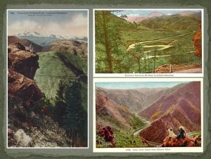
| The Denver Tourist Bureau published a variety of brochures to encourage the touring public, both residents of Denver and visitors, to visit the Mountain Parks. Hundreds of postcards also illustrated the adventure and scenery to be found in Denver’s Mountain Parks. | |
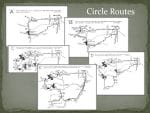
| Many “circle drives” or “scenic circles” were widely publicized in tourist brochures. Routes started at the State Capitol, connecting Denver to Jefferson County. The longest route took visitors to Denver’s Summit Lake Park and the top of Mount Blue Sky. |
“We must remain committed to the vision of a Mountain Park system that meets the needs of our Denver citizenry;
But at the same time we must acknowledge that our mountain parks are now part of a larger fabric of protected lands and open space.”
—Bob Finch, Director of Natural Resources

